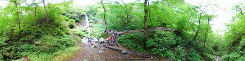
Laguna of Quilotoa, Ecuador
Friday 26 February 2010
Quilotoa is a water-filled caldera and the westernmost volcano in the Ecuadorian Andes. The 3 kilometres (2 mi) wide caldera was formed by the collapse of this dacitevolcano following a catastrophic VEI-6 eruption about 800 years ago, which produced pyroclastic flows and lahars that reached the Pacific Ocean, and spread an airborne deposit of volcanic ashthroughout the northern Andes. The caldera has since accumulated a 250 m (820 ft) deep crater lake, which has a greenish color as a result of dissolved minerals. Fumaroles are found on the lake floor and hot springs occur on the eastern flank of the volcano. Quilotoa is a tourist site of growing popularity. The route to the "summit" (the small town of Quilotoa) is generally traveled by hired truck or bus from the town of Zumbahua 17 km to the South. Visitors must pay two US dollars each to look from the lip of the caldera. A number of simple hostales have developed in the immediate area, and offer services such as mules and guides for the five-hour hike around the caldera (whose diameter is about 9km), a half-hour hike down (and 1-2 hour hike back up the 400 meter vertical ascent), and very basic lodging down in its bowl. Camping is permitted at the bottom of the crater, but there is no potable water (except half-liter bottles sold at the hostel), and only a single pit toilet, located in the hostel. http://en.wikipedia.org/wiki/Quilotoa

Posted in Americas